UW Automatic Weather Stations - 2020
| Regions:Years: |
Ross Island Vicinity Stations (2020): |
|||||||||||||||||||||
Willie Field AWSOwner:Site Code: WFD Initial Start Date: 1992-01-25 Info from Service Visit: 2020-01-13 Latitude: -77.868 S Longitude: 166.921 E Elevation: 9 meters AWS Model: AWSCR1000 ARGOS ID: 99607 2020 Archive (FTP): 3-hourly | 10-minute Station Records:
Notes: Station was named for Williams Field, the runway nearest to the station. ------------------------------------------- Station installation on 2-10-11 (approximate ground time 1.75 hours) ------------------------------------------- Team: Jonathan, Lee, Melissa and Julien Nicholas UNAVCO GPS was set out. Approximate times are 2:00-3:30pm. It was about a 0.5 hour pickup truck ride out to the site from McMurdo. The station was initially empty, except for a solar panel that we removed (all of the remaining instruments were removed at an earlier visit this season). One battery box was also removed. We installed an aerovane, upper temp, lower temp, HMP, solar panel, electronics box and junction box. We put out 2 sets of batteries at the site. Note: the junction box is an old style box. Therefore the solar panel has been hardwired into the junction box and the battery cables are the old style. Also, we removed the freewave transmitter from the site, due to the fact that the freewave receiving antennae on top of Crary will not pick up the signal from this site. Therefore, a data card will collect the data and will need to be retrieved next season. The computer was connected to the station and the data collection looked good. The final instrument heights are as follows: Lower temp: 127 cm Electronics box: 204 cm Pressure: 239 cm Junction box: 142 cm HMP: 381 cm Upper temp: 394 cm Aerovane: 435 cm | 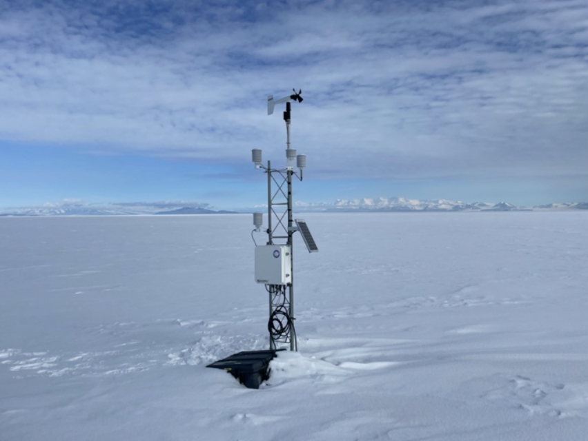 27 Photos 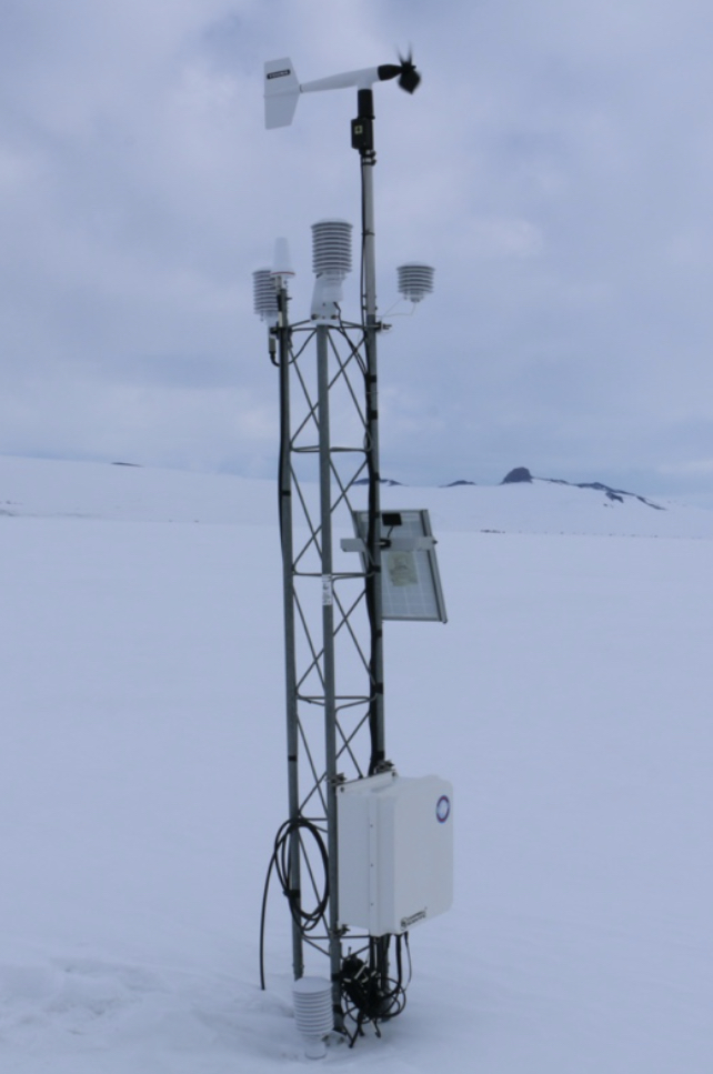 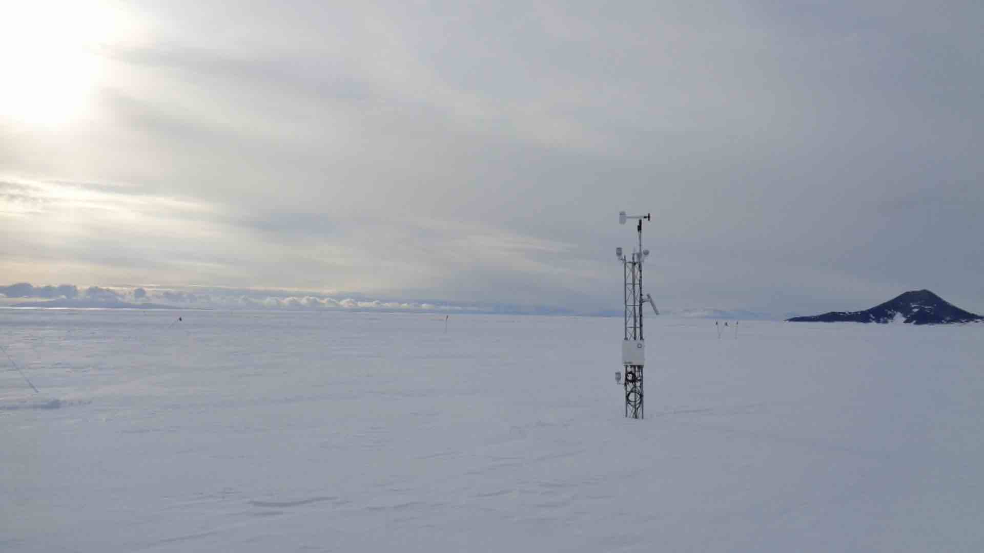 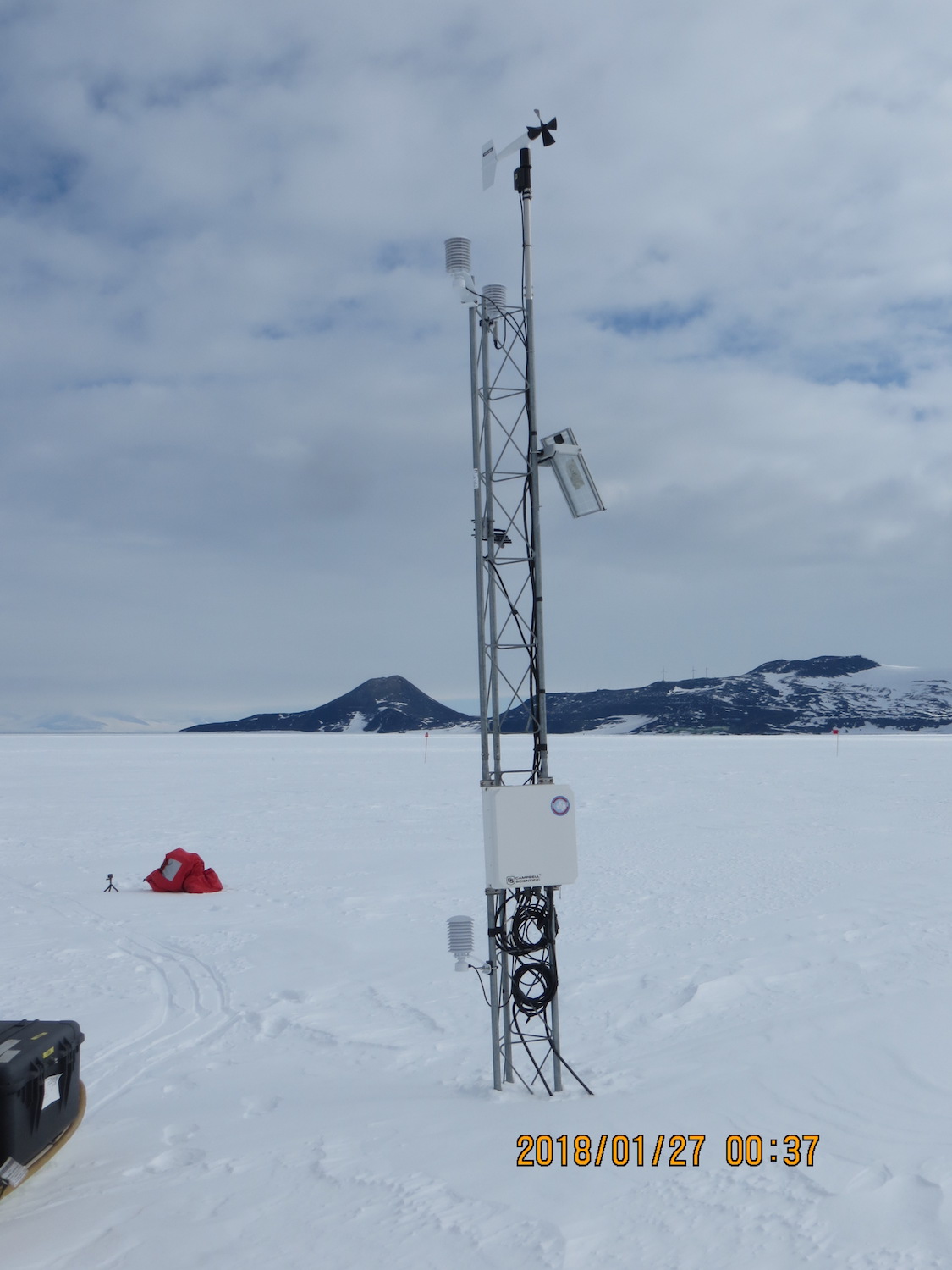 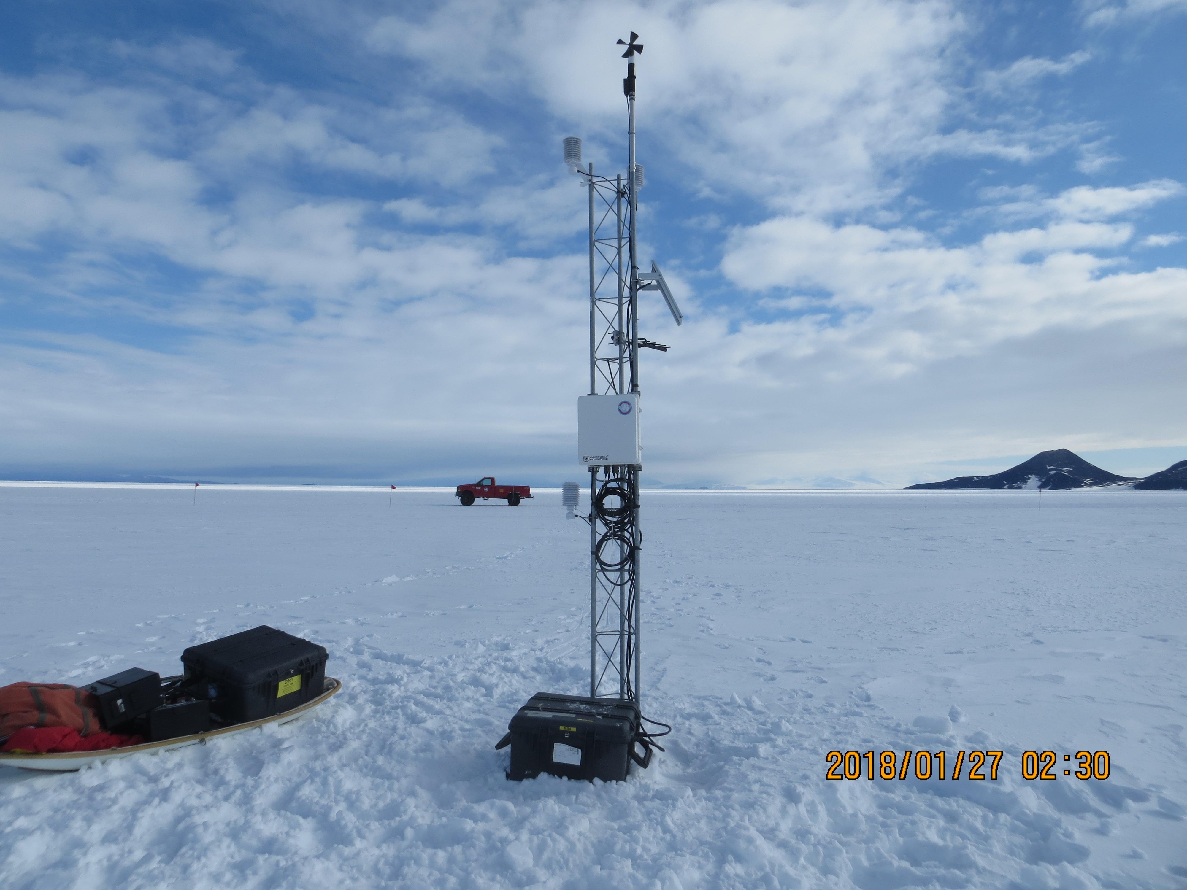 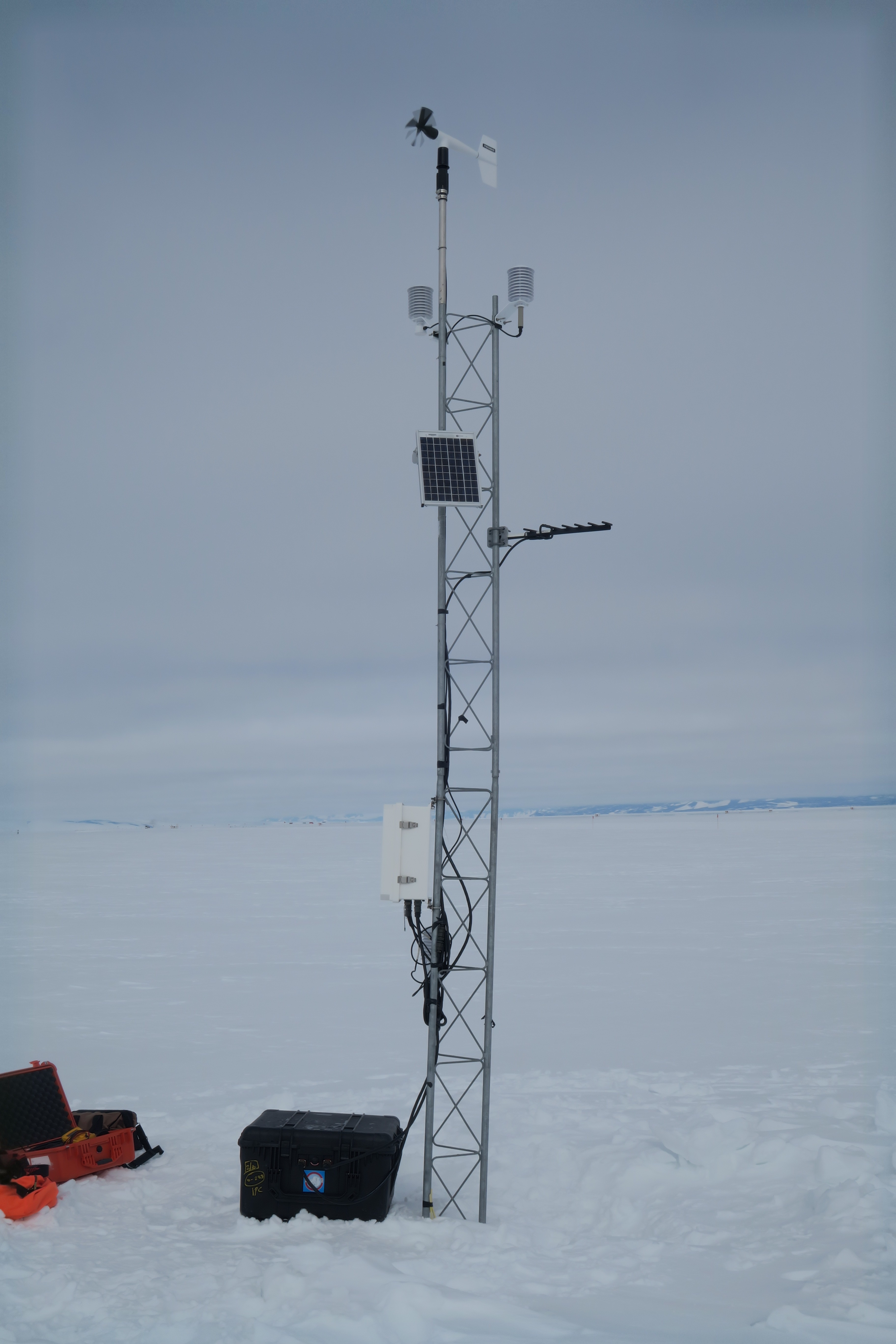 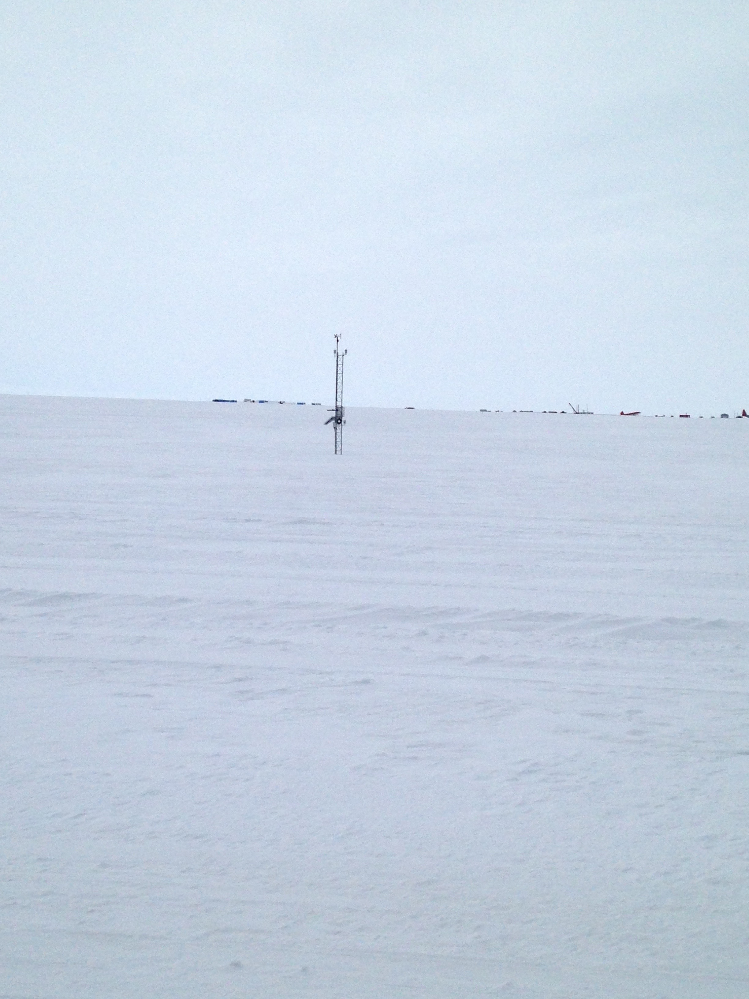 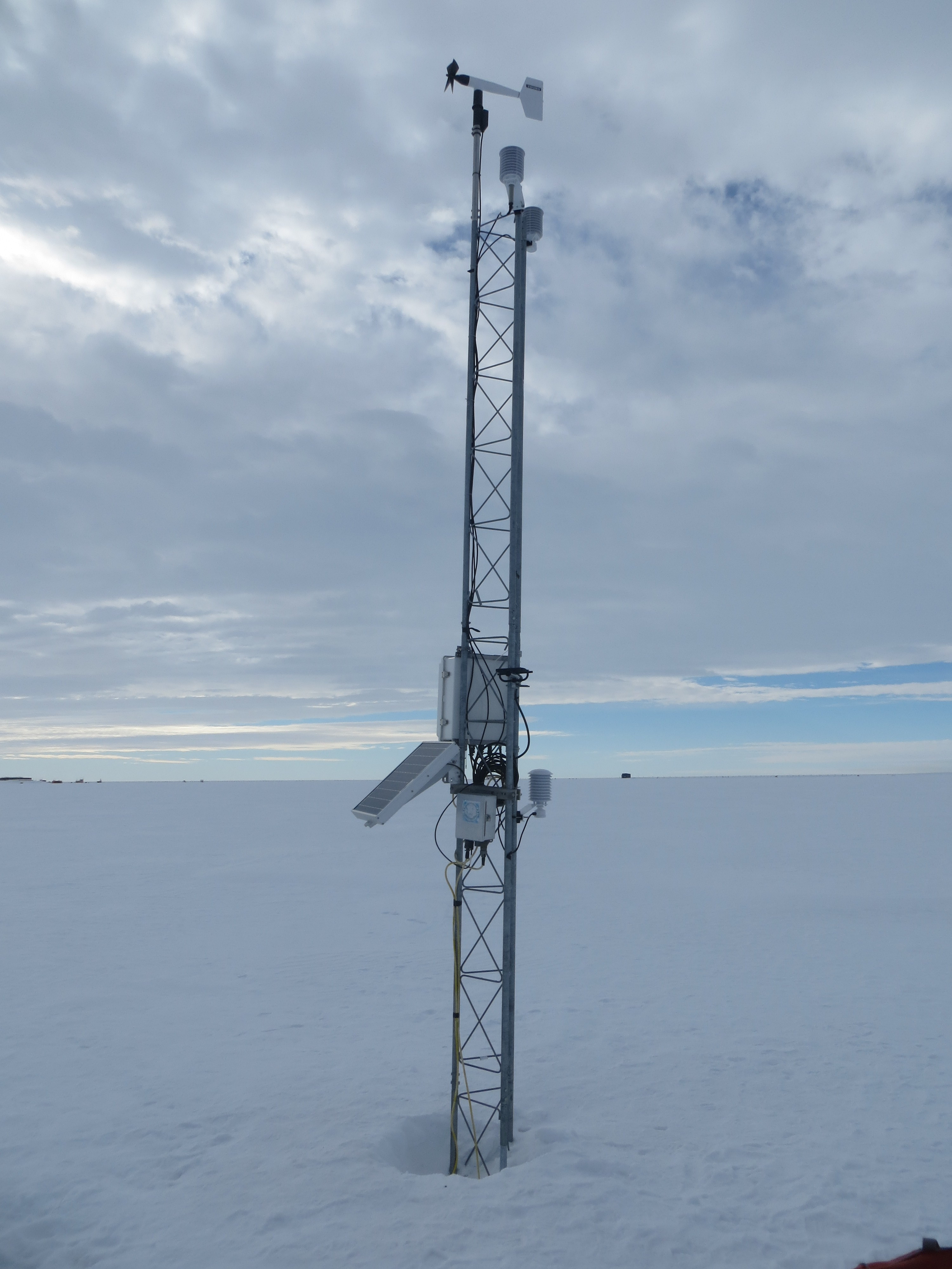 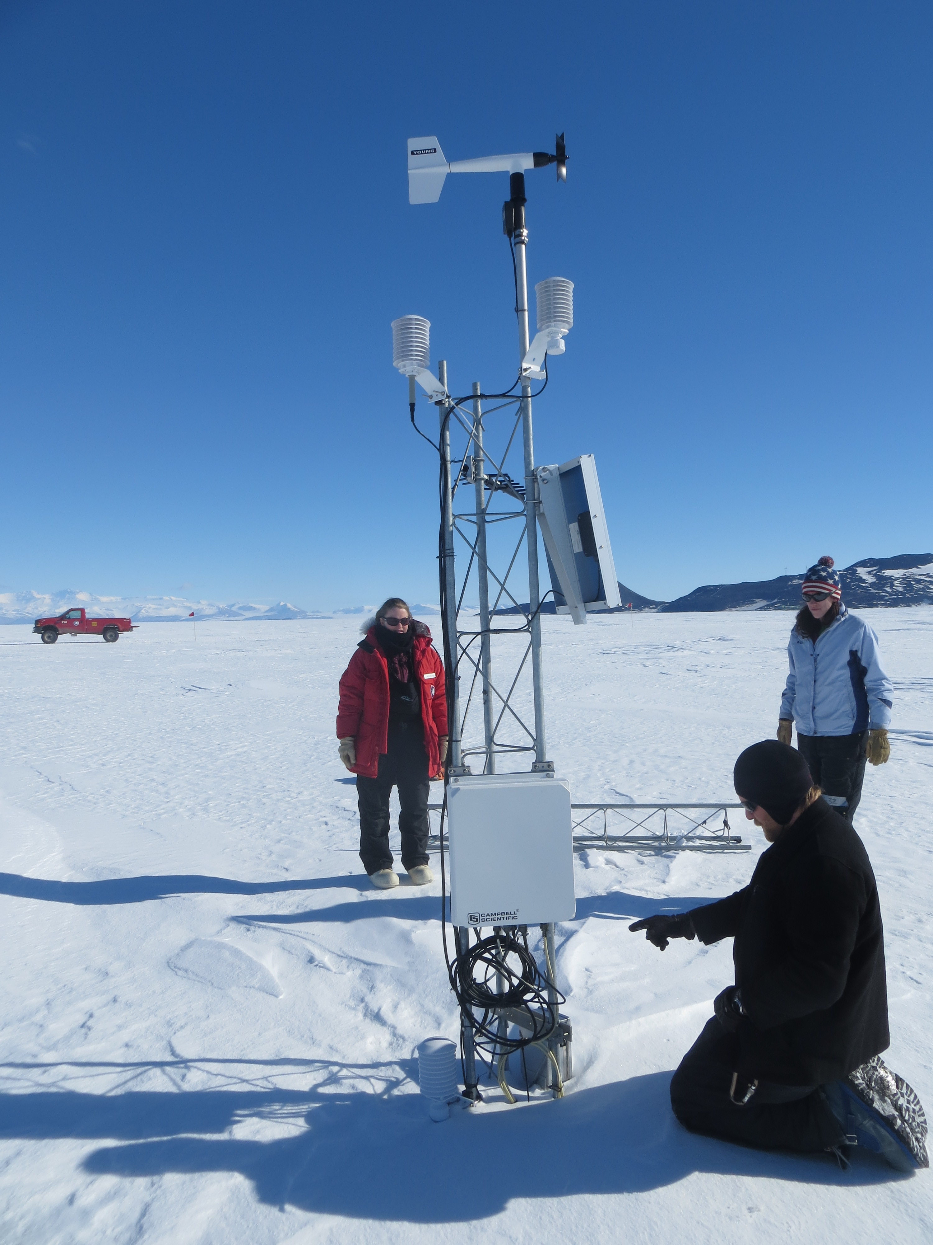 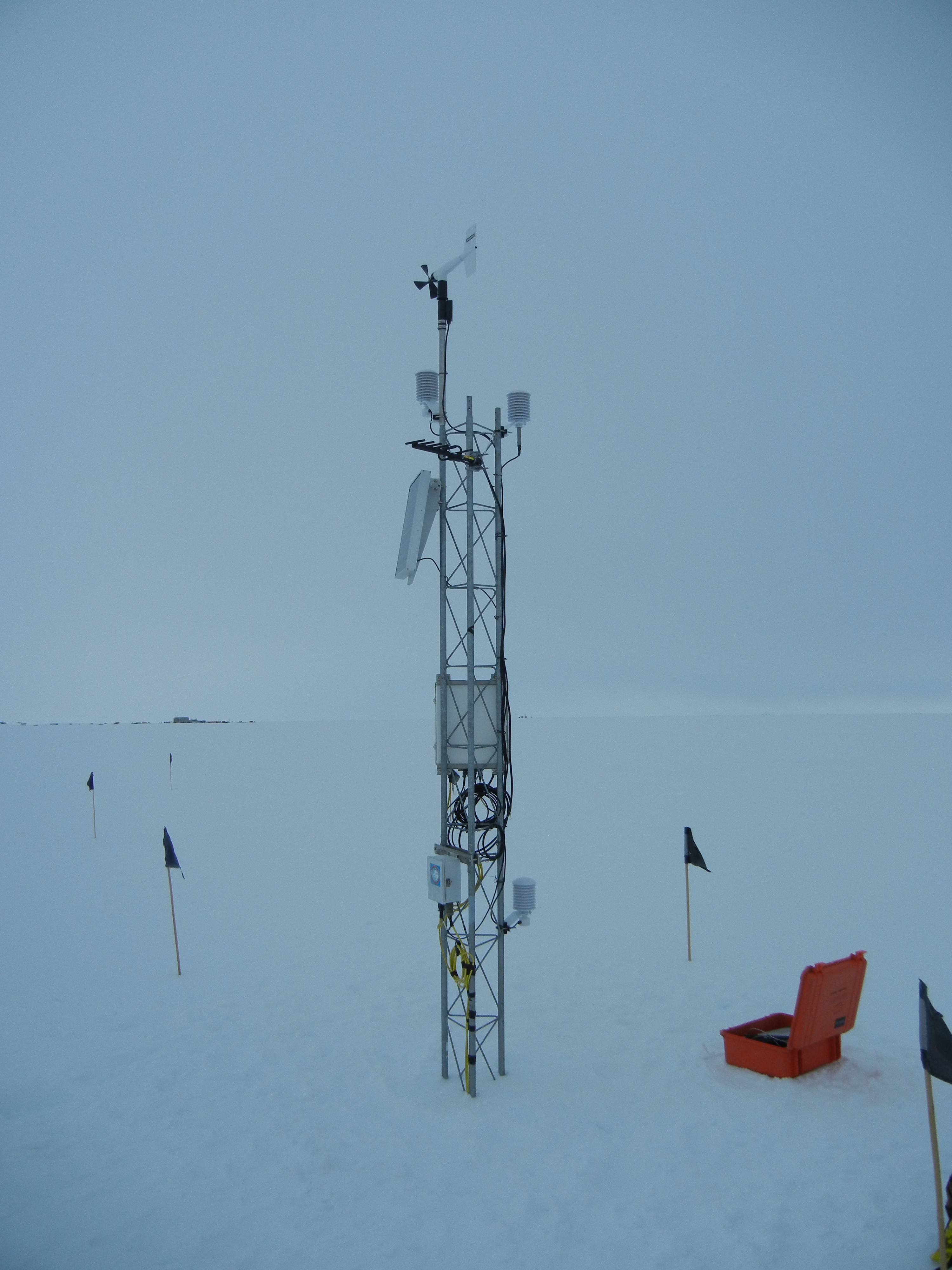 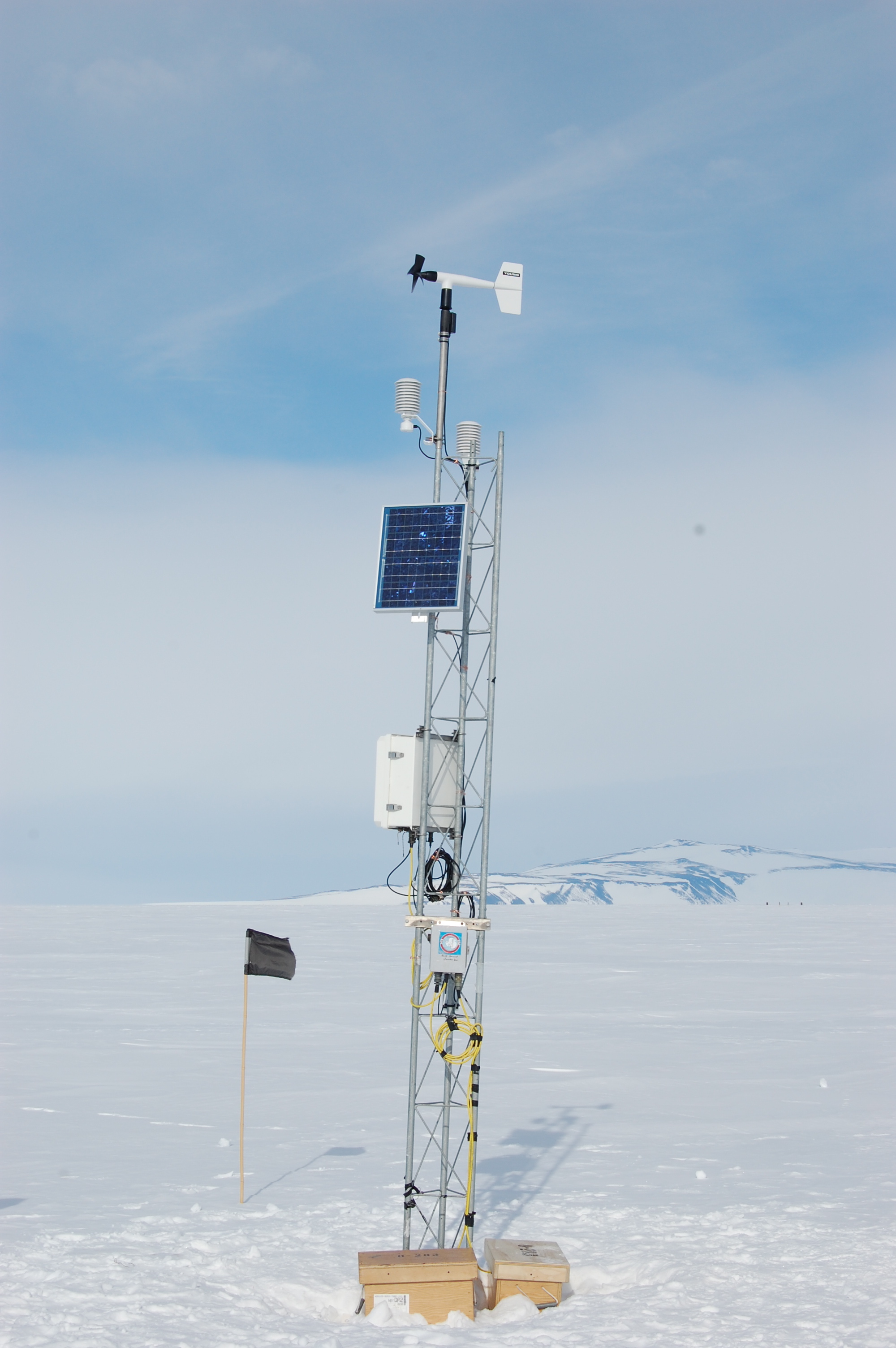 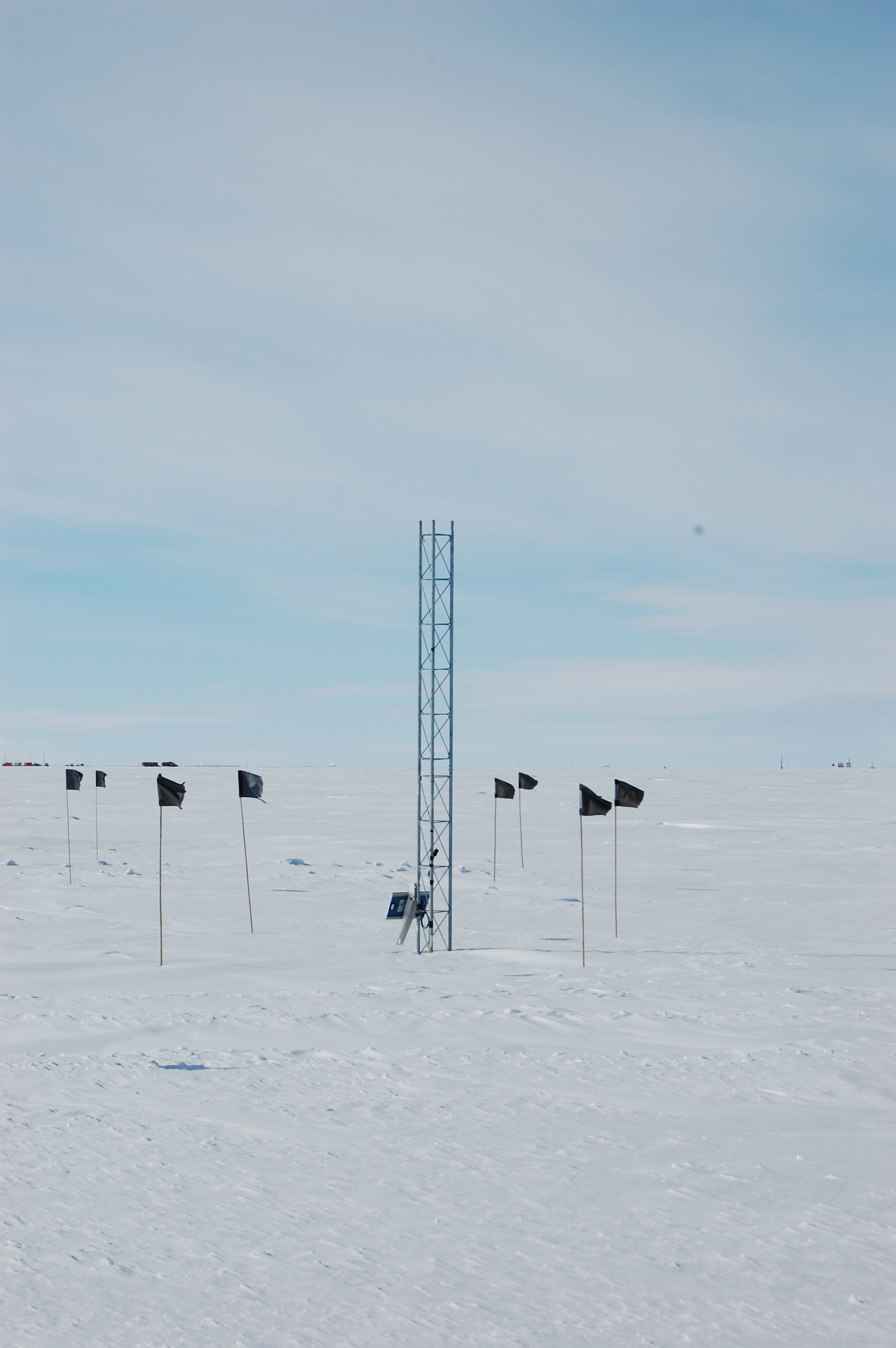 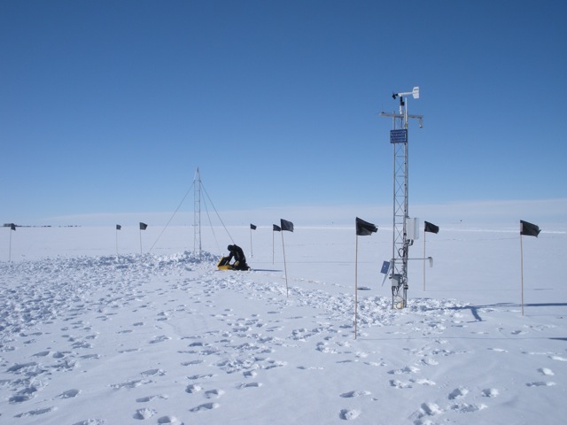 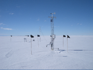  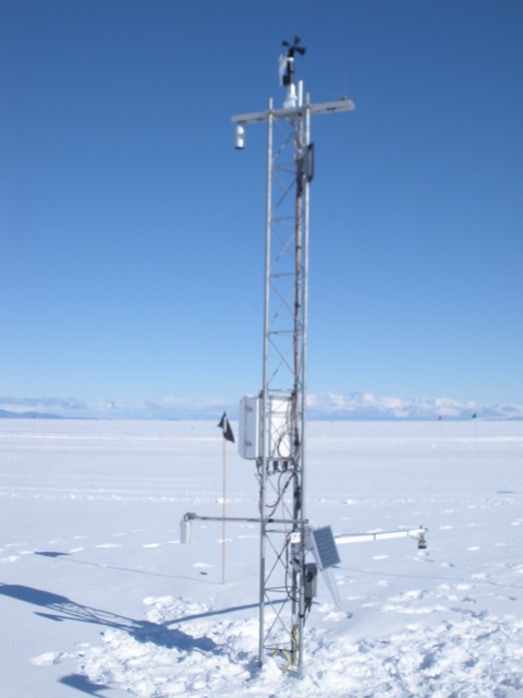 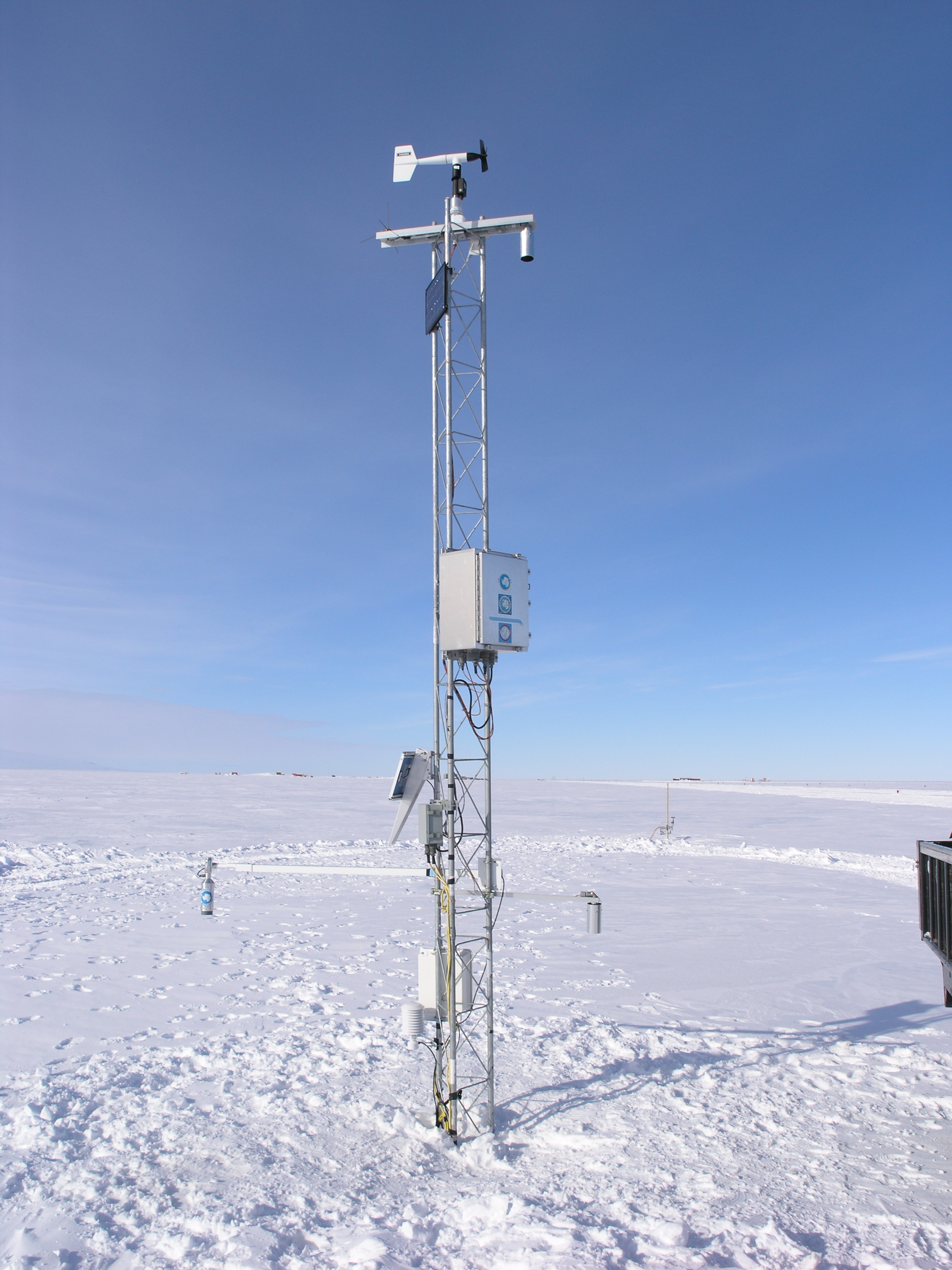  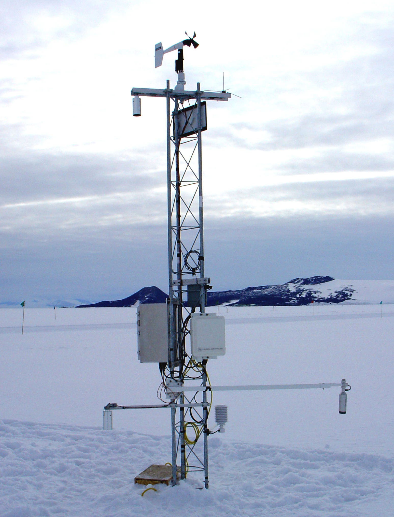 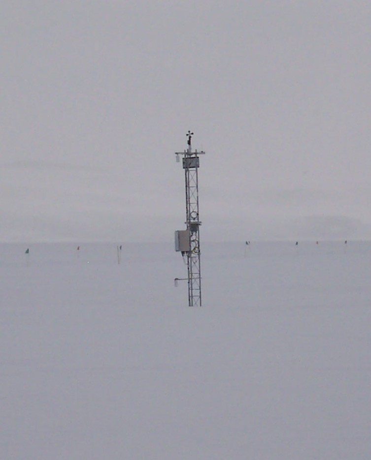 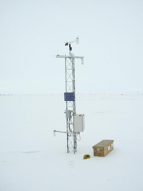  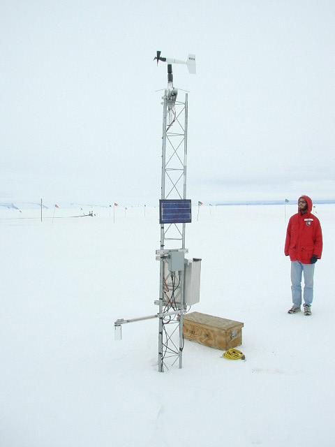 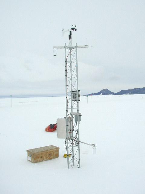 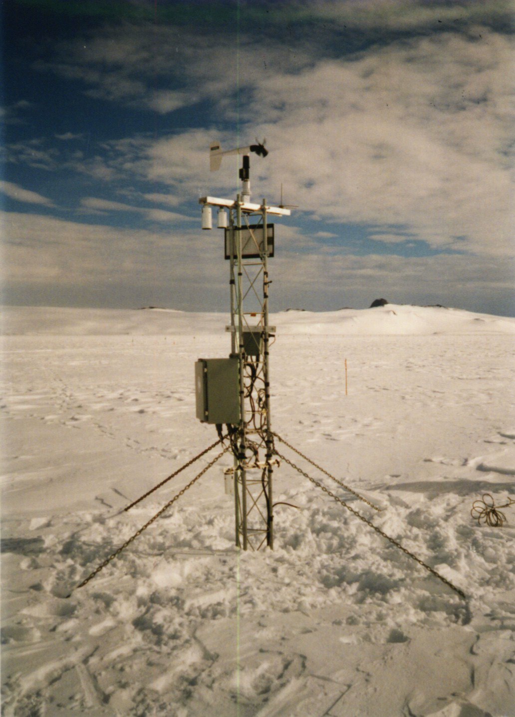 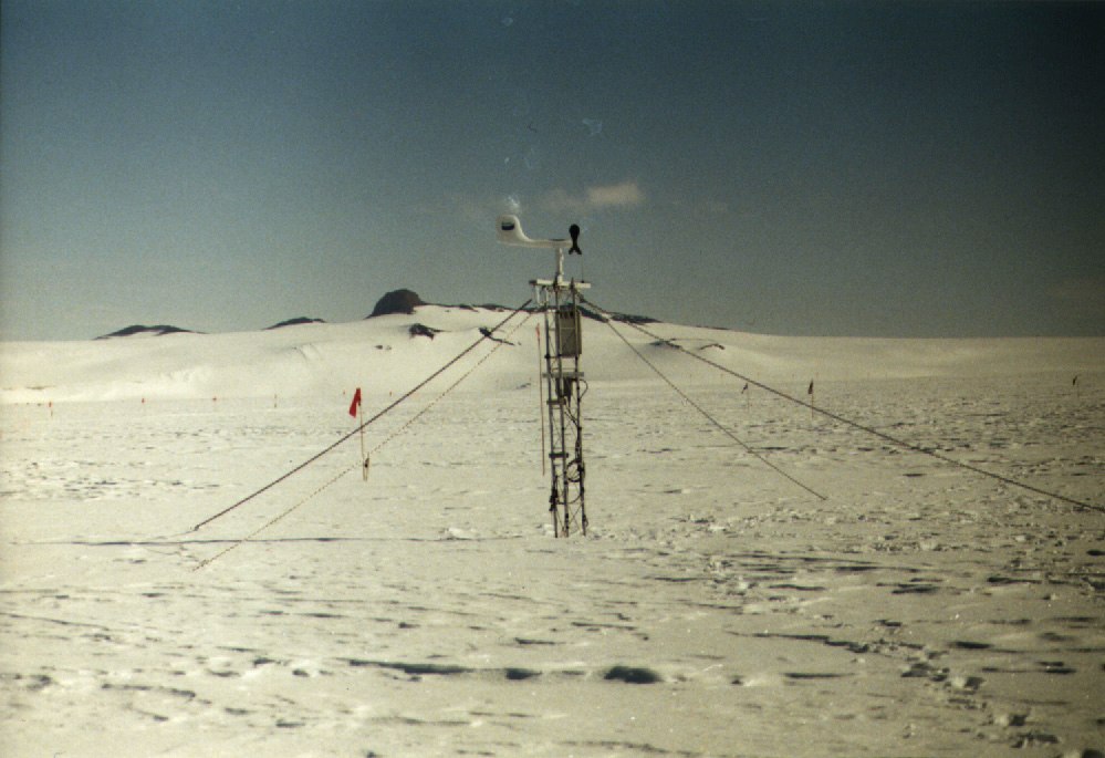  | |||||||||||||||||||||